As the population grows and the demand on housing continues to increase in Melbourne and Victoria, many farming lands have been re-zoned into residential lots ready to be re-developed. This presents an extremely positive platform for growth in home ownership and investment.
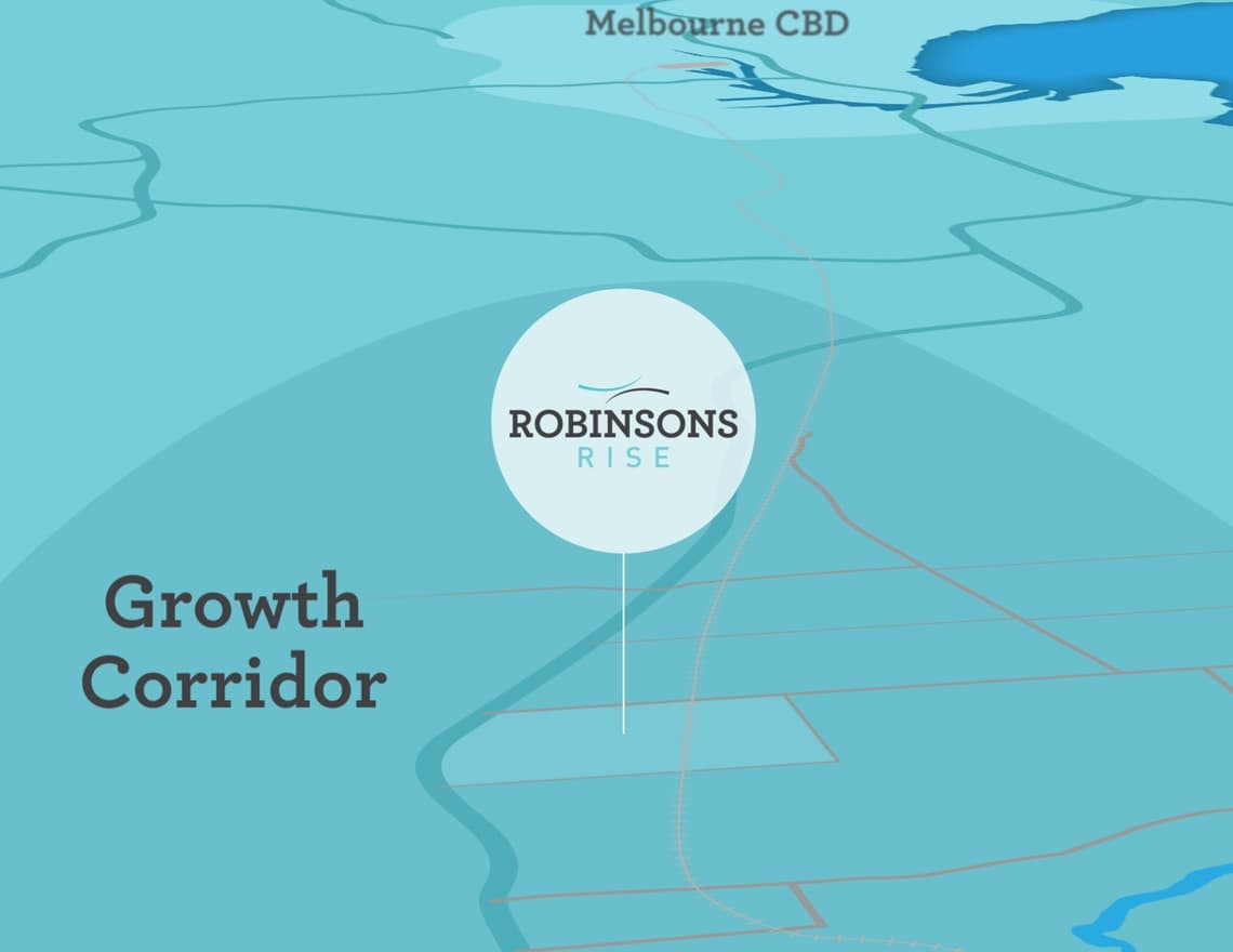
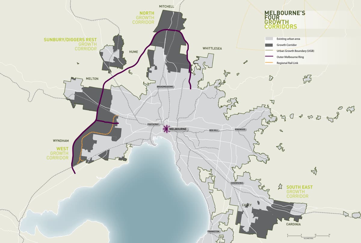
Robinsons Rise sits in the heart of Victoria’s growth corridor and offers outstanding opportunities for investors and homeowners. The development is located in the City of Melton, which has experienced rapid expansion and growth over the last decade and is ranked the third fastest among Local Government Area’s (LGAs) in Victoria in 2010.
The Shire of Melton is one of the fastest growing suburbs in Australia. This trend has triggered new infrastructure investment in the region including the recently completed Deer Park Bypass. During 2009, the Victorian Government released multiple reports and strategies that all point to future growth for Melbourne’s western region. These include Melbourne @ 5 Million, the Victorian Transport Plan and Delivering Melbourne’s Newest Sustainable Communities.

In June 2009, the Victorian Government released their proposed Urban Growth Boundary (UGB) which significantly expands the Melton – Caroline Springs Growth area to connect the Melton Township with Metropolitan Melbourne.
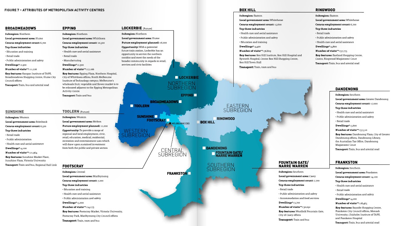
Toolern is located south-east of the Melton Township and approximately 33 kilometres from the Melbourne CBD via direct access to the Western Freeway. The growth of Toolern will reduce the spatial separation of Melton Township from the Eastern Corridor. The Toolern Activity Centre will be centrally located within the new growth corridor, further enhancing its role within Melbourne’s West.
The Toolern Precinct Structure Plan (Precinct Structure Plan) has been prepared by the Melton Shire Council in conjunction with the Growth Areas Authority (GAA), government agencies, service authorities and major stakeholders.
The Precinct Structure Plan is a long-term plan for urban development. It describes how the land is expected to be developed, the services planned to support development and how they will be delivered.
The Precinct Structure Plan:
- Enables the transition of non-urban land to urban land.
- Sets the vision for how land should be developed and the desired outcomes to be achieved.
- Outlines projects required to ensure that future residents, visitors and workers within the area can be provided with timely access to services and transport necessary to support a quality, affordable
lifestyle. - Details the form and conditions that must be met by future land use and development.
- Determines the use and development controls that apply in the schedule to the Urban Growth Zone and what permits may be granted under the Schedule to the zone.
- Provides developers, investors and local communities with certainty about future development.
- Enables the assessment, protection and enhancement of biodiversity values in the context of the surrounding and long term urban development.
The Precinct Structure Plan is informed by:
- The State Planning Policy Framework set out in the Melton Planning Scheme, including the Growth Area Framework Plans and the Precinct Structure Planning Guidelines; and
- The Local Planning Policy Framework of the Melton Planning Scheme and other local policies and strategies.


